geocolor.io

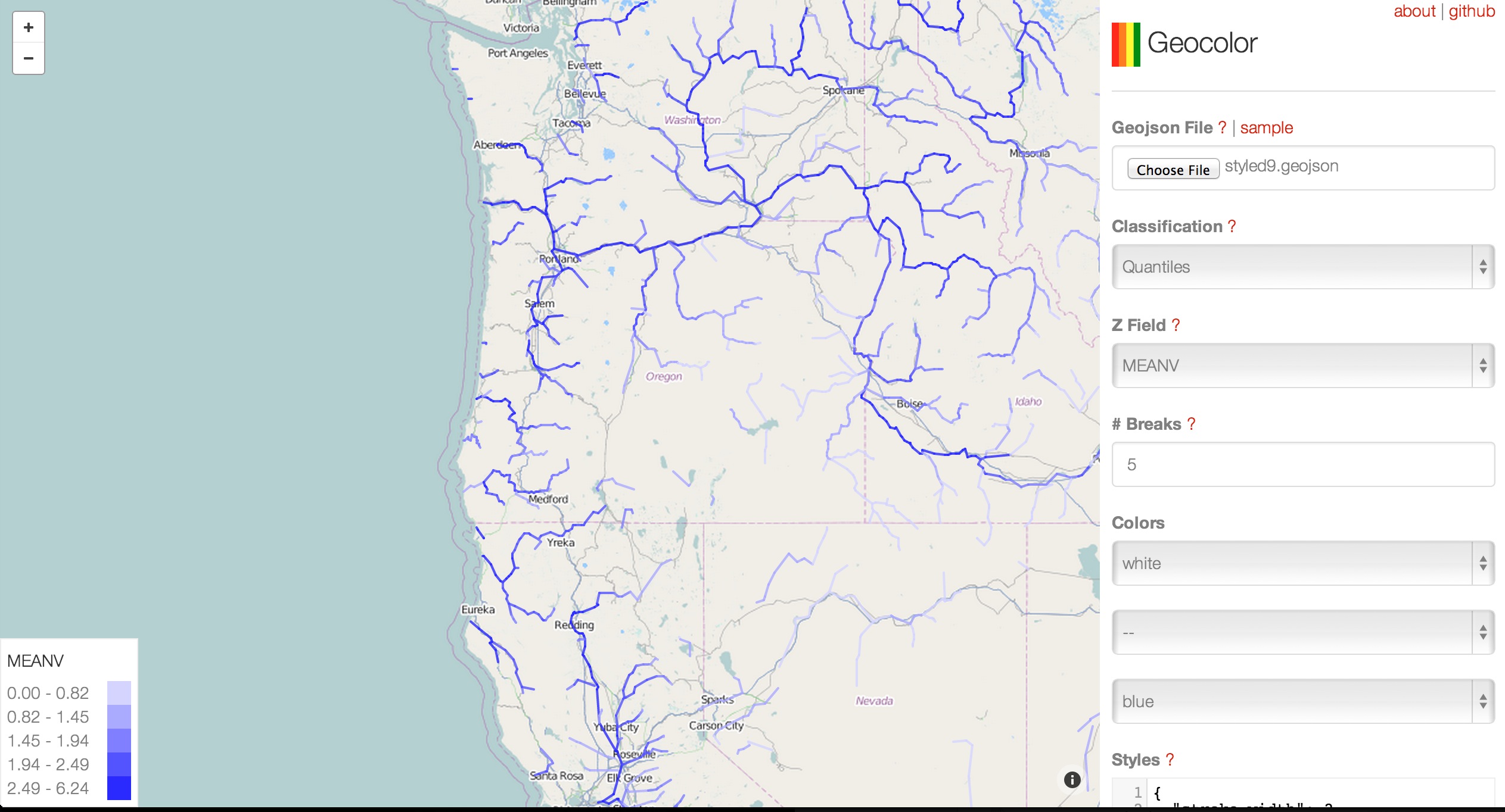
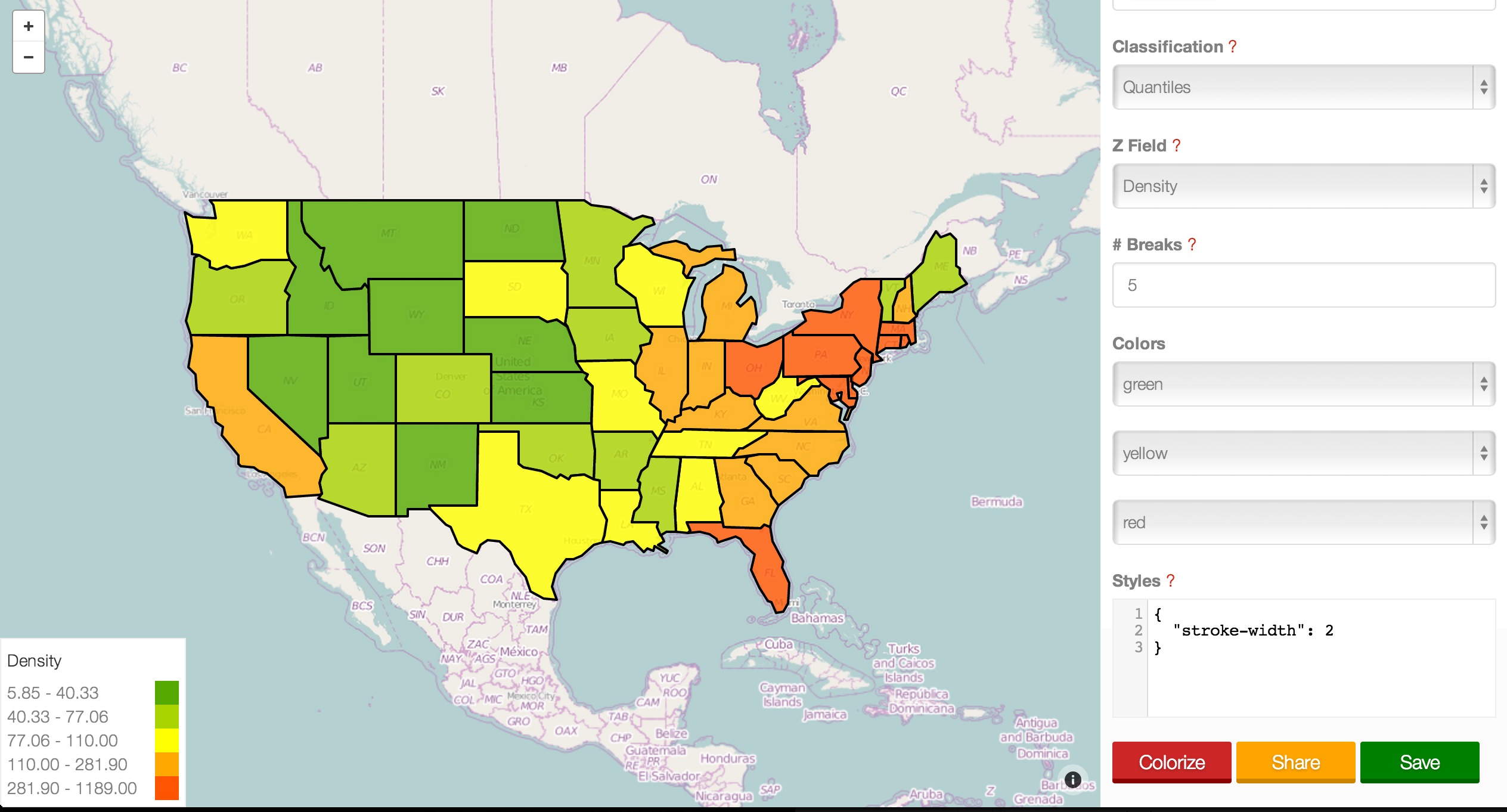
Geocolor.io is a web app that creates color themed choropleth maps based on geojson data.
The maps can be saved to the desktop as geojson files or shared as full screen maps. The styles are based off of the simplestyle-spec, so the files will render with colors in many tools like mapbox or github.
There are several ways to classify data, and custom styles can be added such as stroke width, fill opacity, or maki markers.
The code is fully open source under the MIT License. Along with the web app, geocolor is also a javascript module that can be used in node.js or in the browser to make your own custom apps or scripts.
5-9-14